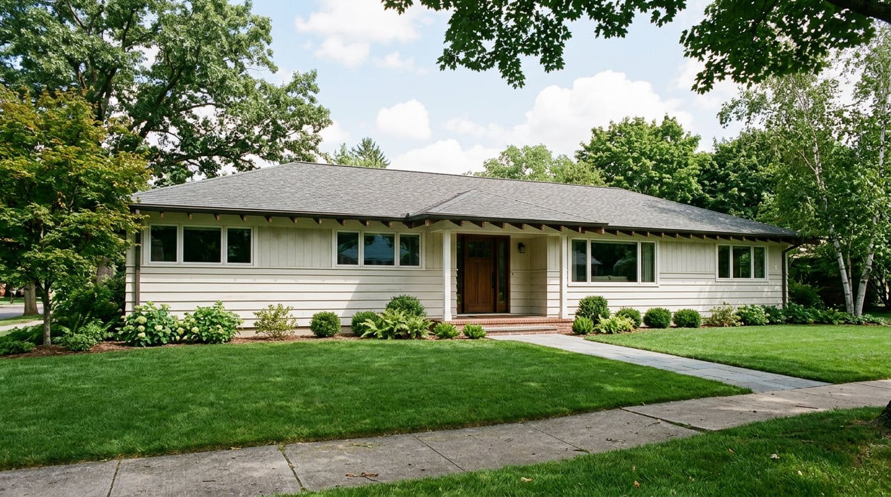
Walk the bend at the bottom of Sandalwood Court on any weekday afternoon and you will see it: a gap in the fence line, worn smoother than the sidewalk around it, that leads straight onto the Burton Valley Elementary campus and from there into Lafayette Community Park. It is an informal route, separate from the five access points listed in the city's park materials. Ask a kid with a bike, and the number climbs to at least nine.
That gap between the official count and the lived one is part of how this neighborhood works. Burton Valley was platted with streets and cul-de-sacs like any other Lafayette subdivision, but the way people actually move through it, especially kids, also includes a network of informal paths worn in by feet and bike tires over decades and passed from kid to kid.
Five Official Park Access Points
If you asked Lafayette's parks department to point you to Lafayette Community Park, the official answer runs to five access points. There is the Silverado Drive entrance near Burton Drive. There is the Rohrer entrance across from Read Drive. There are two options off the park's main parking lot on St. Mary's Road, between Rohrer Drive and South Lucille Lane, one a path and one a footbridge. And there is the footbridge at the back of the Lafayette Community Center itself, at 500 St. Mary's Road, which also connects to the hockey rink, the bocce court, and the preschool wing.
That footbridge does more than connect a building to a park. It links straight into the Lafayette-Moraga Regional Trail, which means a family walking out their front door in Burton Valley can, without ever touching a car, reach Stanley Middle School and downtown Lafayette in one direction, or Saint Mary's College and Moraga Commons in the other. The park is not an endpoint. It is a junction.
Unofficial Cut-Throughs
Five official entrances undercount what is actually there by at least four. These are the unofficial cut-throughs neighbors have used for years: gaps at the edge of a cul-de-sac, a worn path behind a line of oaks, an opening near the creek that only makes sense if you already know it is there. The Sandalwood Court entrance is the best known of these, a few blocks past Sandalwood's more visible path onto the Burton Valley Elementary campus, and locals favor it specifically because it carries almost no foot traffic even at 3pm dismissal.
The tradeoff is that some of these routes run close to poison oak along the creek banks, which is less an obstacle than a filter. It keeps the unofficial entrances used mostly by people who already know where the plant grows and where it doesn't.
For neighbors who use them, these cut-throughs are simply part of getting around.
Local sixth-graders on bikes know routes that do not appear on the parks department's published map.
What The Bridge Is Named For
Cross the park from the St. Mary's Road parking lot and you hit the Kathryn Peterson Bridge, a 140-foot span over Las Trampas Creek. Kay Peterson is not a name on a plaque nobody reads. She started the Lafayette hiking group, wrote the first Lafayette Trails Master Plan, and did the unglamorous work of securing the easements that let most of the town's trails exist at all. The creek she crossed drains more than 27 square miles of watershed, running down from Las Trampas Regional Wilderness and past Bollinger Canyon Road before it reaches Burton Valley. Stand on the bridge in spring and you can count ten different tree species in view, including coast redwood and California black walnut, a small botanical inventory hidden inside a suburban park.
The park's footprint has an older history too. Before it belonged to Lafayette's parks system, the 68 acres were reserved by Caltrans for a freeway that never got built between Pleasant Hill and Oakland. Before that, the corridor now used as the Lafayette-Moraga Regional Trail carried a very different kind of traffic. Mule trains once hauled redwood along this route from Oakland toward Sacramento, later replaced by the Sacramento Northern Railroad. When the rail line was abandoned, the parks system converted the old tracks into one of the first rail-trails in California. The bike path a Burton Valley kid rides to swim practice today sits on a route that has been moving people and goods through this valley for more than a century, just never by car.
The Park Is Doing More Work Than It Looks Like
None of this would matter much if the park were simply scenery. It isn't. It's infrastructure for a specific kind of daily life that Burton Valley families already recognize but rarely name.
Every summer, the whistle from swim team practice carries across the neighborhood from Rancho Colorados Swim & Tennis Club and Las Trampas Pool, both reachable from inside the same trail network the park feeds into. Little League games run on Buckeye Fields most evenings in season, and families walking to a 6pm game are more likely to cut through Sandalwood than drive around to a formal lot. Come October, the Halloween loop near Burton Valley Elementary draws trick-or-treaters from streets that have no direct route to each other except through the park's informal paths. Together, these destinations are connected by an informal pedestrian network, built up over time as neighbors found shortcuts through the area.
Those connections do more than lead to the park. Kids' after-school routes to Little League practice, a parent's stroller loop before dinner, and a dog walker's morning circuit share some of these unmarked paths, worn in collectively and familiar to people who grew up here.
Why This Actually Matters
Burton Valley reads on paper as a flat, orderly grid of ranch homes built between 1937 and 2016. What that description misses is that the neighborhood's real connective tissue isn't the streets. It's the park threading through the middle of it, accessed by a network of informal routes. The formal map gets you in the door, and the informal one is what makes the place feel like somewhere you actually live rather than somewhere you merely reside.
If you already call Burton Valley home, you probably knew half of this without needing it written down. That is sort of the point. The other half, the mule trains, the Caltrans freeway that never got built, the woman the bridge is named for, is neighborhood history beyond a listing description or city brochure. It comes into view when someone asks why the shortcuts are where they are.
If you're weighing a move within Burton Valley, thinking about what a property near one of these access points is actually worth to daily life, or just curious what else this neighborhood's history has to offer, Gillian Judge Hogan has spent years learning Lafayette block by block, trail by trail. Find home. Find happy.